
El Niño Creates Conditions for a Quiet Atlantic Hurricane Season
Wertynews.com – A powerful El Niño creates conditions that have kept the Atlantic hurricane season unusually calm during a period when tropical activity typically intensifies. Although the season runs from June 1 through November 30, no hurricanes had formed as the Atlantic moved through its traditional peak months of August through October.
Only five tropical storms had developed, and each was relatively weak and short-lived. The absence of a hurricane placed the season in rare territory, even though there was still time for additional systems to form before the official end of the season.
Atlantic activity falls far below normal
The season reached a satellite-era record for the latest point in the year without a system reaching sustained winds of 64 mph, the threshold for hurricane classification. Nick Novella, a meteorologist at the government’s Weather Prediction Center, noted that some seasons before 1950 may also have gone this long without a documented hurricane, though observations over open water were much less reliable at that time.
Storm counts tell only part of the story. A measurement that considers the number of systems, their intensity and how long they last was also at its lowest level for this point in the season since 1950. Colorado State University hurricane specialist Phil Klotzbach said activity stood at only 7% of the normal level.
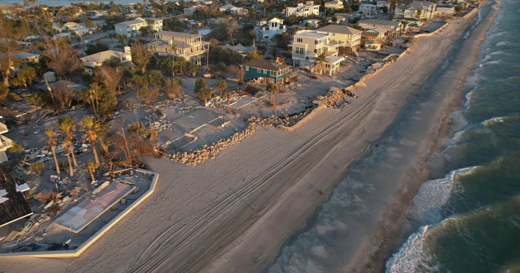
Colorado State University’s seasonal outlook projected nine named storms in the Atlantic basin. A slow start, however, does not remove the danger for coastal communities. One tropical cyclone can still produce destructive winds, flooding, storm surge, coastal erosion and tornadoes.
The 1992 season remains an important reminder. It began quietly before Hurricane Andrew became one of the most destructive storms in U.S. history. Residents and travelers should continue to follow official forecasts and maintain hurricane preparedness plans, regardless of how inactive the season appears.
Why powerful El Niño creates conditions hostile to storms
A powerful El Niño creates conditions that can disrupt hurricane development across the Atlantic. El Niño is a climate pattern involving temporary warming in parts of the equatorial Pacific Ocean. It can influence weather around the world and tends to recur irregularly, often every two to seven years.
In the Atlantic, the pattern has produced a combination of strong wind shear, dry air and sinking air. These conditions can prevent tropical disturbances from organizing into the vertically aligned circulations needed for a storm to strengthen.
“It’s really staggering, just how inhospitable the Atlantic is to anything that could form a tropical cyclone right now,” said Kristen Corbosiero, an atmospheric science professor at the University at Albany.
Wind shear is especially damaging because it occurs when winds near the surface and winds higher in the atmosphere move at different speeds or in different directions. Instead of allowing thunderstorms to build around a developing center, the winds can push those storms away and weaken the system.
Between Africa and the Caribbean, a region where many major Atlantic hurricanes develop, wind shear was measured at roughly 45 mph beyond what a tropical cyclone can tolerate, Corbosiero said. Brian McNoldy, a hurricane expert at the University of Miami, compared the effect to storms having their heads cut off before they can fully form.
Warm ocean water cannot overcome every obstacle
Ocean temperatures were exceptionally warm, including a stretch of 100 consecutive days of record global ocean warmth. Warm water generally supplies energy that can help tropical cyclones develop, but it is not enough on its own when upper-level winds and dry air are working against storm formation.
Dry air, African dust and high pressure over the Atlantic added to the difficult environment. High pressure encourages sinking air, which suppresses the thunderstorms tropical systems need to organize and intensify. Fewer disturbances capable of becoming storms were also available.
Powerful El Niño creates conditions that illustrate why hurricane forecasts depend on more than sea-surface temperatures. Even with very warm water available, the atmosphere can remain too hostile for hurricanes to form or persist.
Frequently asked questions
Does a quiet hurricane season mean there is no risk?
No. A season can remain below normal overall while still producing a dangerous landfalling storm. People in hurricane-prone areas should keep emergency supplies ready, know local evacuation guidance and monitor alerts from official weather agencies.
When is the Atlantic hurricane season most active?
The Atlantic hurricane season officially lasts from June 1 through November 30. Activity commonly reaches its highest levels from August through October, but storms can form at other times during the season.
How does El Niño affect Atlantic hurricanes?
El Niño often increases wind shear over parts of the Atlantic, making it harder for tropical cyclones to organize and strengthen. Its influence can reduce overall activity, but it cannot guarantee that no damaging storm will occur.